<img height="1" width="1" style="display:none" src="https://www.facebook.com/tr?id=2068773736745421&amp;ev=PageView&amp;noscript=1">

The Basics of Using Polymers on Dredging Projects

Posted by Dillon Hogan on October 16, 2018

Why Add Polymers?


One of the biggest challenges on a dredging project is managing the water that is excavated and transported with the sediment. On hydraulic dredging jobs where sediment and water are pumped through a pipeline as a slurry, water can account for 90+ percent of the volumetric flow. After the slurry reaches the disposal area, the water must be separated from the sediment, collected, and often clarified or treated. This process must happen as fast as the water is being pumped, which for a 12-inch cutterhead dredge could be 5,000 gallons per minute.

Read More

4 Essential Steps of Wetland Restoration

Posted by Dillon Hogan on July 24, 2018

Our experience in wetland habitat restoration began decades ago with the Upper Mississippi River Restoration Program (UMRR), the largest restoration program ever undertaken on a major waterway worldwide.  Since then, restoring marshes, wetlands, and highly sensitive ecosystems along inland and coastal waters nationwide has been a main initiative.

Read More

The Leverman's Challenge

Posted by Dillon Hogan on May 29, 2018

The Bureau of Labor Statistics classifies a dredge operator as a person who removes sand, gravel, or other material in order to excavate and maintain navigable channels in waterways. In the industry, we call the dredge operator a leverman. This is a historical remnant of the days when the pilothouse, or lever room, was full of mechanical levers that controlled various parts of the dredge. The levers eventually gave way to computerized control systems...

Read More

QC-ing the QC Equipment

Posted by Dillon Hogan on April 03, 2018

All Systems Go

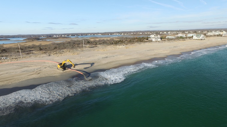
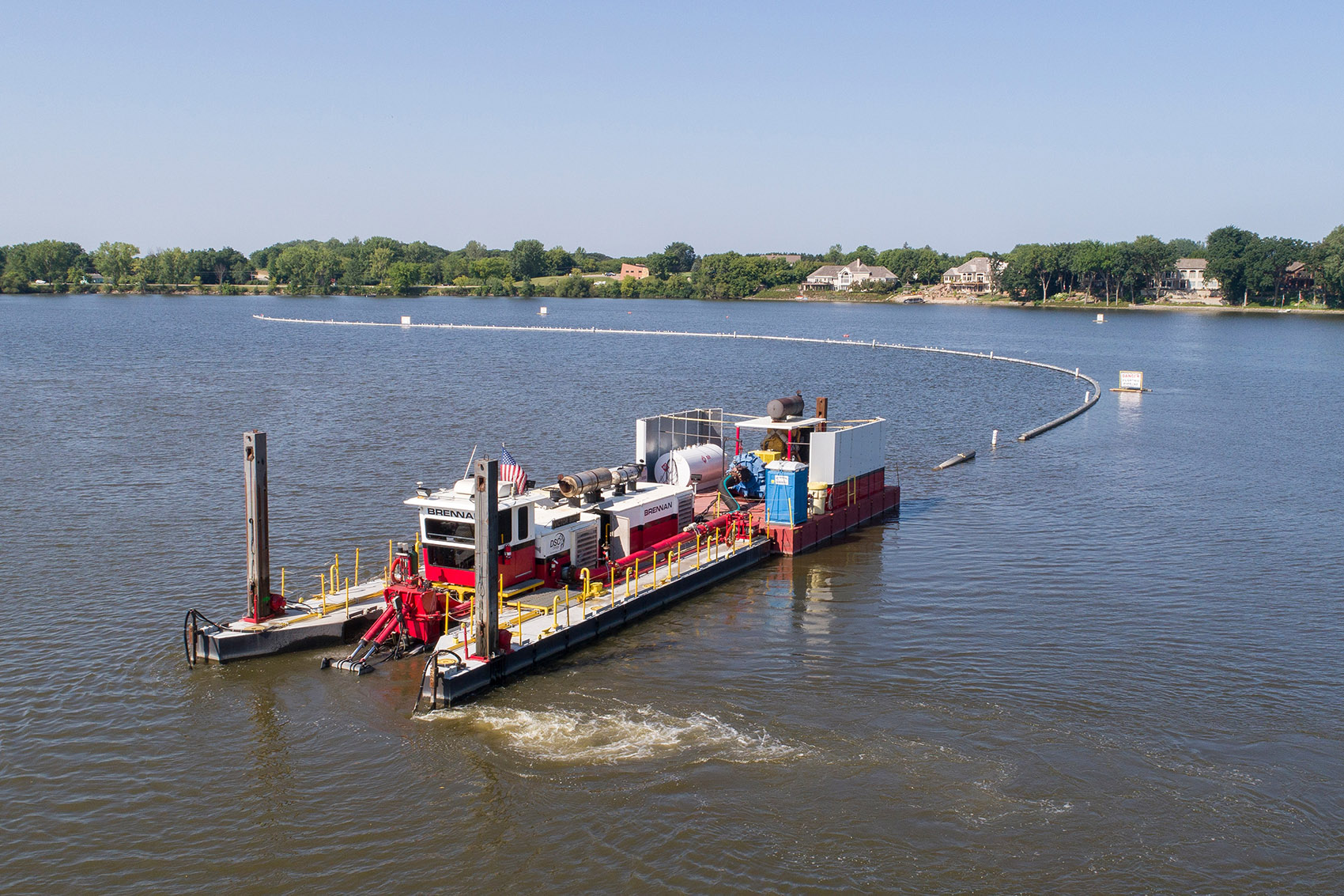
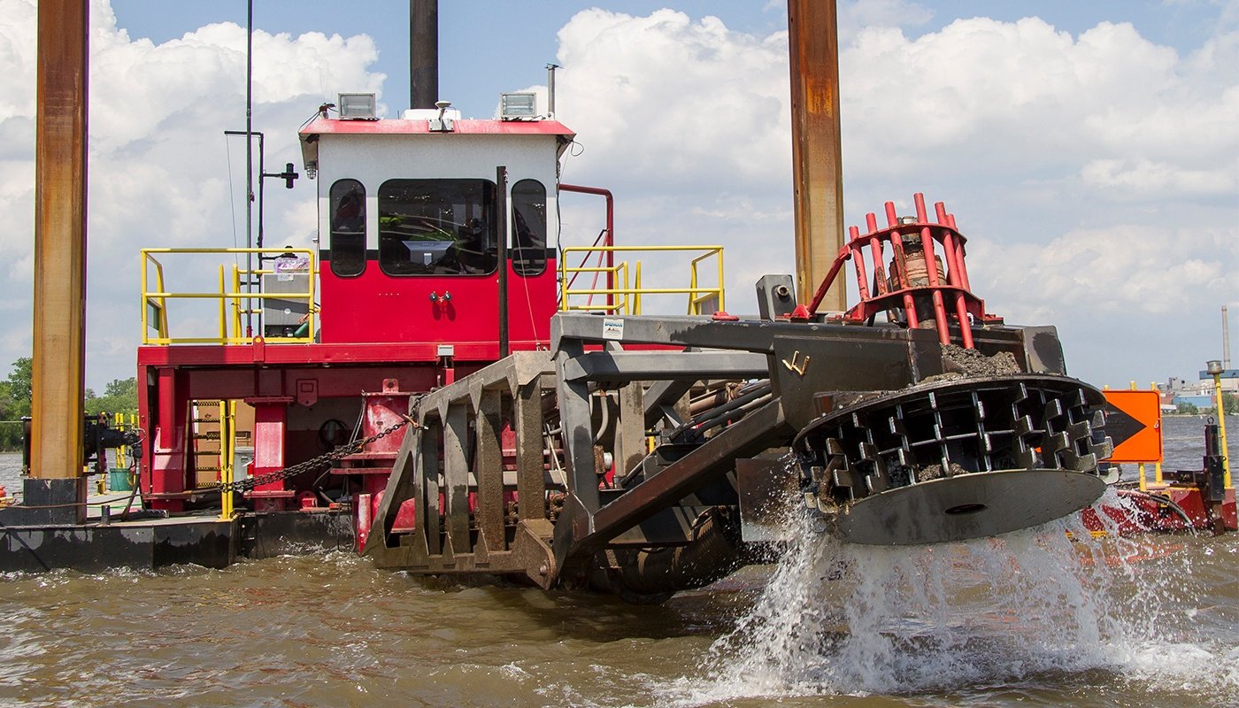
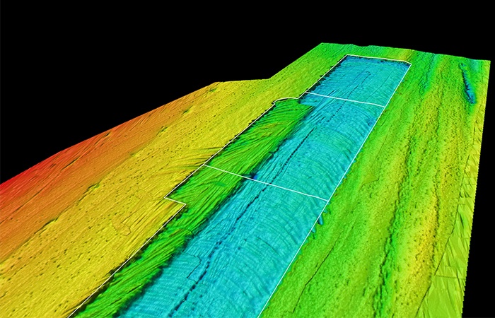
At Brennan, we utilize hydrographic survey systems to measure progress on all of our dredging projects. These systems typically include a positioning system, such as RTK-GPS, and a multi-beam echo-sounder. The Real Time Kinematic, Global Positioning System, or RTK-GPS, is a precise satellite navigation tool, whereas an echo-sounder is a sonar device for measuring depth. Combining the two allows us to achieve very accurate measurements on the location of the river bottom. We take the data points created during these measurements and create a 3-dimensional model using Hypack® software. By running a survey before we dredge, and then one afterward, we can create two models and compare them to one another. The difference between the two models is the total volume of in-situ yardage that we have removed. Typically, we are paid by the in-situ volume of sediment (in cubic yards) that we remove so it is very important that these measurements are extremely accurate. Therefore, establishing quality control checks on the equipment before we survey is an extremely important step in achieving accurate measurements.

Read More

3 Crucial Steps for Dredging Near Utilities

Posted by Dillon Hogan on January 23, 2018

Dredging around utilities is challenging, and mistakes can be expensive and dangerous. When utilities, such as power lines, natural gas lines or fiber optics, are above ground they can be easily marked, and a plan can be developed to avoid them. However, when these same utilities are underwater, locating them and working around them adds an additional layer of risk for the contractor.

Read More

Pros and Cons: Turbidity Curtains for Environmental Dredging

Posted by Dillon Hogan on January 08, 2018

Turbidity is a hot-button issue in the environmental dredging industry because if it is not controlled, contamination can spread to clean areas. Since every dredge project will experience the presence of suspended sediments in the water column, proper measures are taken to control this problem.

Read More

What Everybody Ought to Know About Environmental Dredging

Posted by Samantha Schmitz on May 18, 2012

Recently Susan Pastor with the U.S. Environmental Protection Agency wrote an article in the Spring 2012 edition of the Fox River Current titled “Latest Technology Guides Hydraulic Dredge”.  The article was about the use of a Real Time Kinematic Global Positioning System (RTK-GPS) to aid the dredge operator in removing contaminated sediments from the Fox River in Green Bay, WI.  In the article she writes about the use of the system and how it improves the accuracy in which a dredge operator can remove targeted sediments to designated depths.  These operators can view their progress in real time using pricey, high accuracy equipment.

Read More