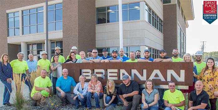
Obtaining recognition as a “great place to work” is not something that comes easily for most organizations. Certification as a Great Place to Work requires that a company be evaluated on many different levels. We have worked hard to establish a workplace that inspires the passion of its employees and allows them to use their talents to be motivated by what they do and with whom they work. At Brennan, we have established several foundational attributes which make a great work place. Here are a few examples of what we think is needed to make Brennan a “Great Place to Work”:


 Newer Posts