
Hydrographic surveys are a very effective way to map the bottom of a river, lake, or other water body. By using some of the latest technologies a 3-dimensional model can be developed to show contours, obstacles, scour areas, and large debris. Even in the most turbid conditions, a hydrographic survey done correctly can be very effective.
1. Prepare for the survey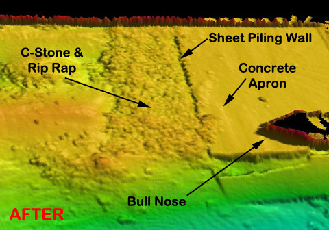_mod-resized-600.jpg?width=294&height=206&name=snap_short_(after)_mod-resized-600.jpg "Hydrographic Survey")
Before beginning, make sure all the equipment is ready to go. Batteries should all be charged and the boat should be fueled. All pre-survey data should be loaded into the computer. This data includes a CAD outline of the water body, track lines for the vessel to follow, and verified quality control points to check into. Also ensure that you become familiar with any potential obstacles in the area such as bridges, docks, sand bars, etc.
2. Run straight lines
Track lines are very important, especially when using a single-beam system. As you navigate the boat you want to run it along your pre-mapped course by following your track lines as closely as possible. In post data processing, consistent, parallel lines will lead to the best interpolation results.
3. Go the distance
When working around seawalls ensure that data points are gathered as closely as possible to the wall. This means you have to run the boat right up to the wall. On a long survey this can be time consuming and cutting corners can be an attractive approach, but the close shoreline data is sometimes the most important.
 4. Process data right away
Once you have the data, process it as soon as possible. Waiting for a lenghty period of time can have a significant impact on your results, especially when working around a dredge project. Processing the data quickly is also important in case you have to go out and collect more to fill in any holes. Bottom conditions will generally by similar if you gather your data in close time intervals.
While running a hydrographic survey take your time. It is always better to have too much data than not enough. You never know what you may find!